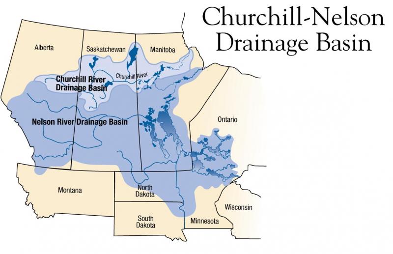
This map was produced for our “A Sad Sort of Clean” photo exhibit and thus highlights the four Aboriginal communities featured in the exhibit.
This map was produced for our “A Sad Sort of Clean” photo exhibit and thus highlights the four Aboriginal communities featured in the exhibit.